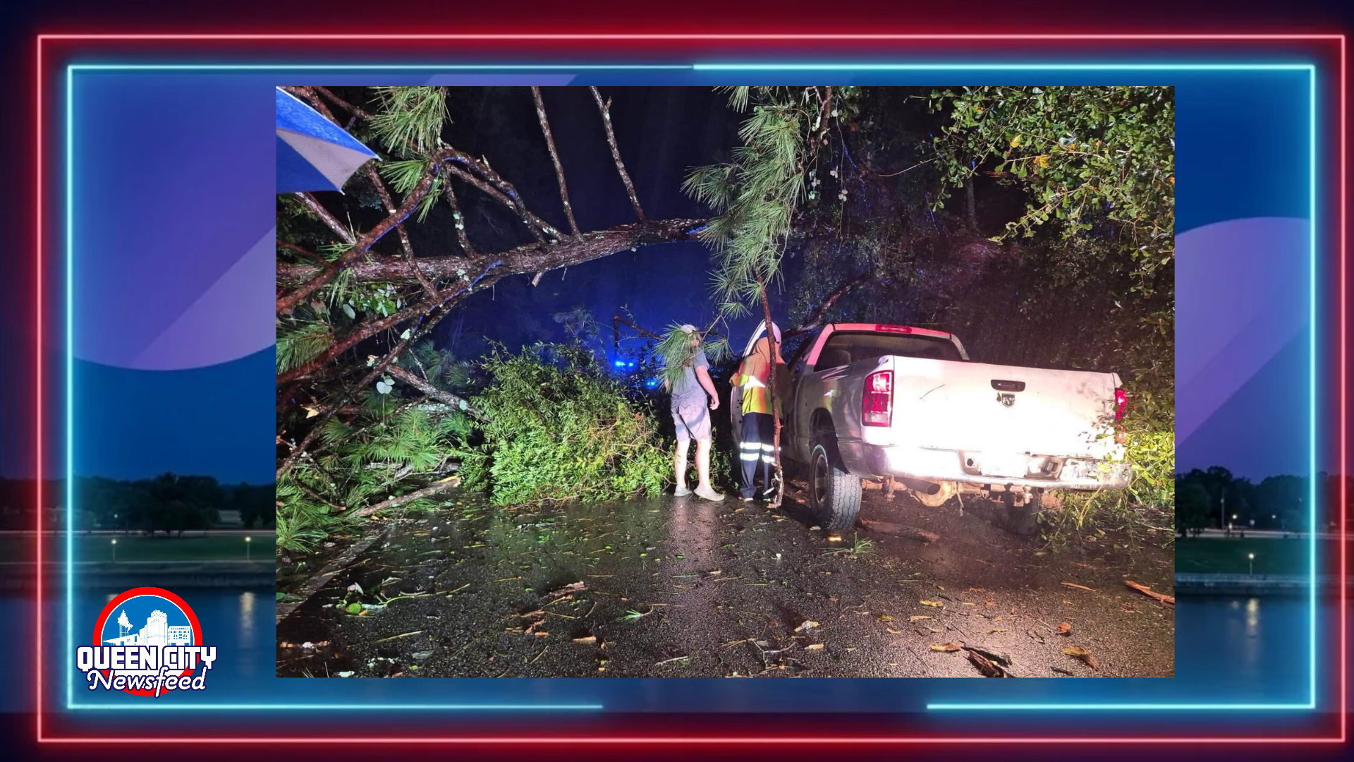
MERIDIAN, Miss. (Queen City Newsfeed) Isaias power outages topped 860,000 across the Southeast Saturday morning. The storm came ashore in the Florida Panhandle Friday night as a Category 2 hurricane. It is now pushing strong winds and heavy rain farther inland.
East Mississippi got lucky. Our area saw very few outages overnight.
Where Isaias is now
The National Hurricane Center put out its last advisory on Isaias at 4 a.m. Saturday. At that time, the storm sat about 25 miles from Montgomery, Ala. Its top winds had dropped to about 35 mph.
Isaias is no longer a tropical storm. Forecasters expect it to keep weakening as it moves north across Alabama and into the Tennessee Valley. It should fall apart on Sunday.
All tropical storm and storm surge warnings have ended. The Weather Prediction Center now tracks what is left of the storm.
Heavy rain is still the biggest danger to our east. Forecasters expect 4 to 8 inches of rain across southern Alabama, the Florida Panhandle and southwest Georgia. Some spots could see up to 15 inches.
Outages by state
Here is the latest count of customers without power, according to PowerOutage.com:
- Florida: 438,911
- Alabama: 307,743
- Georgia: 121,191
Mississippi’s number is much smaller. As of about 8:30 a.m., the tracking site Outage Pro showed fewer than 2,000 customers without power in the whole state. Most of those were in Hinds and Harrison counties.
Hardest hit in Florida
The worst damage is in the western Florida Panhandle, near where the storm came ashore. Early Saturday, Outage Pro showed:
- Escambia County: about 132,000 customers out
- Santa Rosa County: about 89,000
- Walton County: about 69,000
- Okaloosa County: about 69,000
- Bay County: about 42,000
In Santa Rosa County, that means about 9 out of every 10 customers lost power.
How East Mississippi fared
Here at home, the lights stayed on for nearly everyone. As of about 8:30 a.m. Saturday, Outage Pro showed:
- East Mississippi Electric Power Association had no reported outages.
- Mississippi Power had 8 customers without power across its whole system.
- Lauderdale County had just 1 customer out. Neshoba, Kemper, Clarke and Newton counties had none.
So why were we spared? It comes down to the storm’s path. Isaias came ashore well east of Mississippi and then moved north through Alabama. That kept the strongest winds away from our area.
Weather today
The National Weather Service in Jackson replaced Tropical Storm Warnings for East Mississippi and West Alabama with a Wind Advisory overnight. It lasts until 7 p.m. Saturday.
In Meridian, expect northwest winds of 15 to 20 mph today, with gusts up to 30 mph. A few showers are possible, mainly before 2 p.m. Rain amounts should stay under a tenth of an inch. The high will be near 70. Skies should clear tonight, with a low around 57.
Sumter County, Ala., remains under a Flood Watch until 7 a.m. Sunday, according to the National Weather Service in Birmingham. Showers are likely there until about 4 p.m., with gusts up to 35 mph.
Stay safe and look out for each other
Gusty winds can still bring down weak limbs and trees today. Residents should:
- Stay away from downed power lines and report them to your power company.
- Do not drive through standing water.
- Be careful when clearing limbs and yard debris.
- Check on elderly neighbors and anyone who lives alone.
Many of our neighbors along the Gulf Coast will be without power for days. If you want to help, give through trusted groups like the American Red Cross.
Queen City Newsfeed will keep following recovery efforts across the region.
Sources: National Hurricane Center Advisory 15; National Weather Service Jackson; National Weather Service Birmingham; PowerOutage.com; Outage Pro.